Editing our pre-designed maps is almost as easy as 1-2-3. We build all our templates with those in mind who just don't have the time to learn using complicated software or read any manuals. A quick start guide comes with every map.
-
Built for everyone, not just designers
Each one of our maps products includes plenty of examples where maps are combined with text boxes, graphs, charts, diagrams, pins and zooms. This brings up new ideas and gives you an inspiring, fresh look at the subject of your presentation. Rest assured that your maps will be well designed. Get started in 5 minutes, not hours.
-
Scale effortessly
PowerPoint maps, if done right, can be scaled to any size while maintaining their resolution and high quality. That's why professionals from all trades use them for their projects.
-
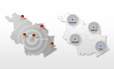
Include labels for clarity
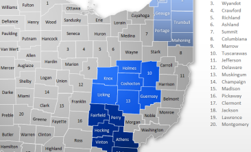
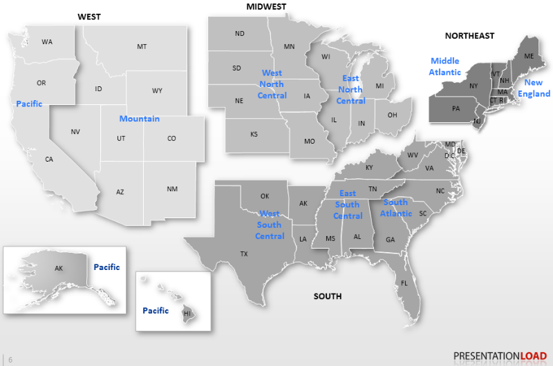
Each part can be labeled for clarity. This includes continents, countries, counties, regions and cities, or whatever you feel is useful.
-
Delete what you don't need
The great thing about these maps is that you can delete superfluous parts with one click. Show only the parts you choose.
-
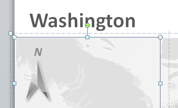
Shapes can be modified
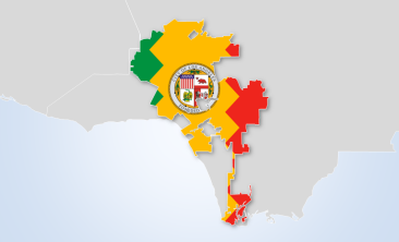
All shapes and paths can be changed, so that your map reflects your needs. This can be helpful for showing historical changes, for example. Filmmakers use this technique to create time-lapse effects.
-
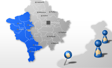
Always up to date
All our international maps are up-to-date. This includes the youngest countries on earth, South Sudan and Kosovo. We update our maps as soon as a new country is recognized by a majority of United Nations member states.
-
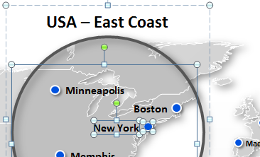
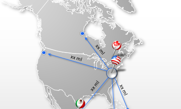
Important cities included
Our map packages show not only shapes and borders, but important cities as well. This makes your presentation more tangible. If you want to hide some of them or don't show any cities at all, that's not a problem.